Maps & Pictures
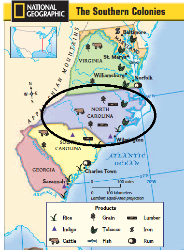
This map points out our colony (North Carolina), indicating its natural resources, major urban centers (although it only has two, North Carolina's urban centers, Charles Town and Wilmington, played a big role in the southern colonies' development), and physical features.
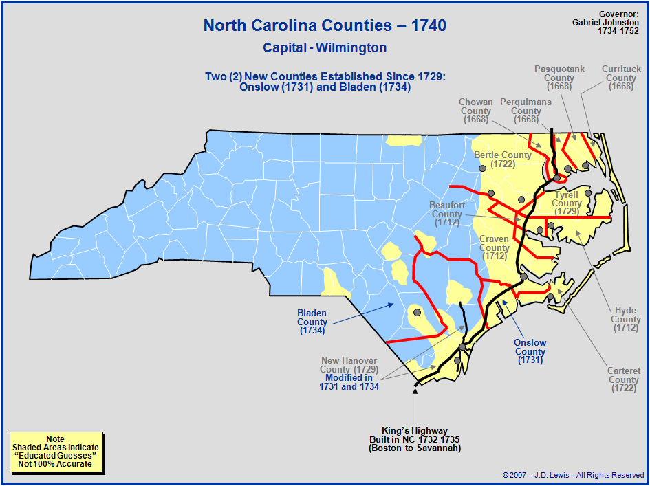
The maps below show the growth/change in our colony from the years 1740 to 1760. As you can see, our colony has grown rapidly in only 20 years.
|

|
